For centuries Istanbul was a walled city. Part of those walls still stands today: the land walls running from the Sea of Marmara to the Golden Horn are among the most impressive medieval defences in the world, while of the Genoese walls that once surrounded Galata, only the tower, a few stretches of wall and some street names remain. In this article we tell the short history of Istanbul's city walls, describe a walking route along the land walls and show which traces of the Galata walls you can still find today.
The land walls: the defensive line of Theodosius
When people say "the walls of Istanbul", they usually mean the land walls, built in the early 5th century under the Byzantine Emperor Theodosius II. Stretching about 6 kilometres from Yedikule on the Sea of Marmara to Ayvansaray on the Golden Horn, the line was a three-layer defence system: an inner wall, an outer wall and a moat in front. The walls protected the city for a thousand years and passed to the Ottomans with the conquest of 1453. Today they are part of the Historic Areas of Istanbul, inscribed on the UNESCO World Heritage List in 1985.
The gates
Many gates along the land walls are still in use or can still be traced. The best known are:
- Golden Gate: The ceremonial gate through which emperors entered the city after their victories; today it lies inside Yedikule Fortress.
- Yedikule: The seven-towered fortress added around the Golden Gate after the conquest.
- Topkapı: One of the areas that saw the fiercest attacks during the conquest; it takes its name from the cannons placed in front of the gate.
- Edirnekapı: At one of the highest points of the land walls, remembered as the gate through which Sultan Mehmed II entered the city.
Sea walls once ran along the shores of the Golden Horn and the Sea of Marmara; most of them were demolished for the coastal road and new buildings.
A walking route along the walls
The best way to see the land walls is to walk along them from Yedikule to Ayvansaray. The whole route is about 6 kilometres and takes 3–5 hours with photos and breaks. You can also walk it in sections.
- Yedikule: Get off at the Yedikule stop of the Marmaray line and start with Yedikule Fortress and the Golden Gate.
- Belgradkapı and Silivrikapı: Some of the best-preserved stretches of the walls; the market gardens at the foot of the walls are still cultivated.
- Mevlanakapı and Topkapı: The section that carries most of the story of the siege of 1453.
- Edirnekapı: The high point of the line; from here you walk downhill towards the Golden Horn.
- Tekfur Sarayı and Ayvansaray: Pass Tekfur Sarayı, one of the few surviving examples of Byzantine palace architecture, and finish the walk on the Golden Horn.
Walk along the walls, on the roads outside or inside them. At some points you will see steps leading up onto the walls and towers, but there are no railings, the stones are uneven and parts are ruined; climbing onto the walls is dangerous. Bring comfortable shoes, water and a hat, and avoid walking alone in the quieter sections.
The Galata walls and the lost moats
Galata had walls of its own. In the 14th century the Genoese surrounded Galata with walls in the shape of a triangle, from the shore of the Golden Horn up to the hill where Galata Tower stands. The tower was the highest point of these walls. In front of them, just as at the land walls, deep moats had been dug.
In the 19th century, as Galata grew into a crowded centre of trade and finance, the walls and moats became an obstacle for the expanding district. The Altıncı Daire-i Belediye (the Sixth Municipal District), the city's first municipal body, decided in 1863–1864 to demolish the walls and fill in the moats. The aim was to widen the congested streets and create new building plots on the land that was freed up.
The walls came down and the moats were filled, but their names survived. Today, walking around Galata Tower, you pass Büyük Hendek Street ("Great Moat"), Küçük Hendek Street ("Little Moat") and Lüleci Hendek Street ("Pipe-makers' Moat"), roads opened on or alongside those moats. You will find the stories of Galata's other street names in our dictionary of Galata street names.
What remains of the Galata walls today?
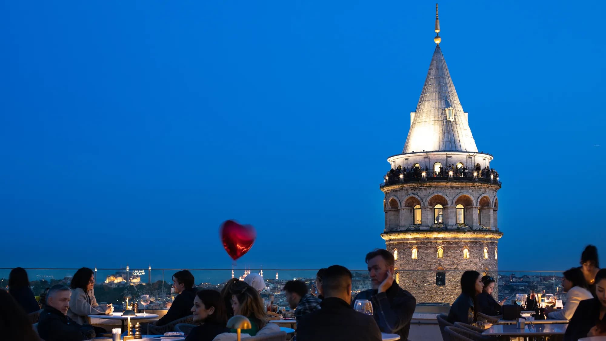
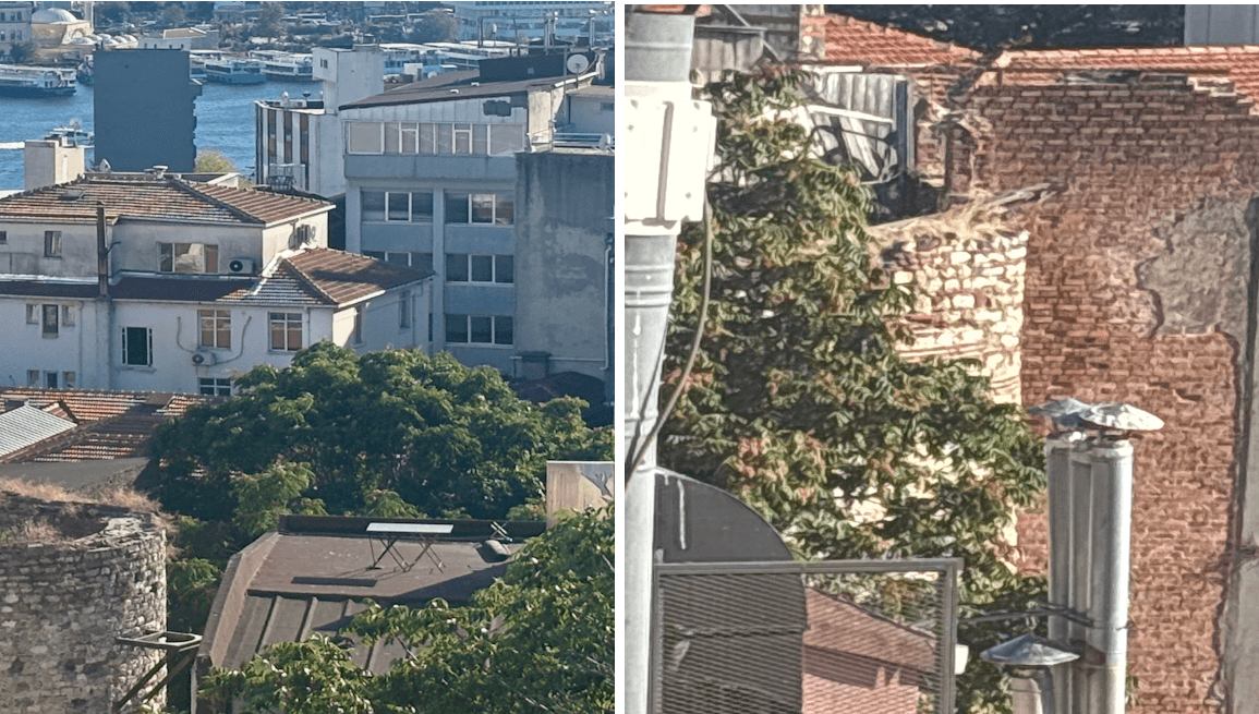
The largest remnant is Galata Tower, at the top of the walls. In various parts of the district you can also see pieces of wall and small towers, most of them squeezed between buildings. The most meaningful of these is Yanıkkapı, one of the surviving gates of the Galata walls. Above it are the coats of arms of families who supported the building of the walls; one of them belongs to the Meroddi family, whose name we gave to our hotels. We tell this story in Where does the name Meroddi come from, and describe the wall remains in City of gates: La Porta.
From Galata to the walls
If you are staying in Galata, reaching the land walls is easy: take the tram from Karaköy to Sirkeci, then the Marmaray to Yedikule, or go along the Golden Horn to Ayvansaray. After a full day walking the walls, you can come back to Galata in the evening and end the day at the foot of the old Genoese walls. Take a look at the Meroddi hotels, set in historic buildings around Galata Tower.
Frequently asked questions
How long are the walls of Istanbul?
The land walls run about 6 kilometres from Yedikule on the Sea of Marmara to Ayvansaray on the Golden Horn. The sea walls once surrounded the shores of the Sea of Marmara and the Golden Horn; most of them no longer stand.
Who built the walls of Istanbul?
The land walls standing today were built in the early 5th century under the Byzantine Emperor Theodosius II. The Galata walls were built by the Genoese in the 14th century.
Can you walk along the walls of Istanbul?
Yes. You can walk along the walls from Yedikule to Ayvansaray; the whole route takes 3–5 hours. Walk on the roads at the foot of the walls; the top of the walls has no railings and is ruined in places, so climbing onto it is dangerous.
Where does the name Büyük Hendek Street come from?
From the moats in front of the Genoese walls that surrounded Galata. When the walls were demolished and the moats filled in 1863–1864 by decision of the Altıncı Daire-i Belediye, the new roads took the names Büyük Hendek, Küçük Hendek and Lüleci Hendek.